
Slides: Spatiality, Intro to Space Syntax, Connectivity, Accessibility, Path Detection
Links: Open Street Map, Grasshopper3D, Food4Rhino
Exercise:
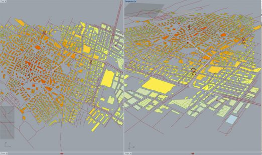
Import Open Street Map data into the Rhino | Grasshopper interface. Analyse the imported geometry in terms of Integration measures, Accessibility (Catchment) and Shortest Path detection. Try to use various positions of Points of Interest and analyse each of them with various weights values (level of importance).
Video tutorials:
Open Street Map data into Rhino | Grasshopper -Elk I
Open Street Map data into Rhino | Grasshopper -Elk II
Integration measures: Proximity and Vicinity
Accessibility (Catchment), Shortest Path detection
InDesign: exercise template.
Word: exercise template.
You can use more pages of templates for the documentation.
Deadline: 10.10.2016