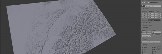
As digital elevation model (DEM) data is freely available on http://srtm.csi.cgiar.org we imported SRTM data to Blender using the ESRI ASCII format.
You can download the file here: switzerland.blend (750MB) (compressed .blend file; needs 8GB of memory)
Lat / Lon coordinates are transformed to the ECEF representation, a representation for the whole globe in x,y,z. The center of the earth is set to be at the center of the 3D scene. 1 Blender Unit equals 1 Meter. The SRTM data has a resolution of 90 by 90 meters.


